ERIS Mobile8.0.1
Publisher Description
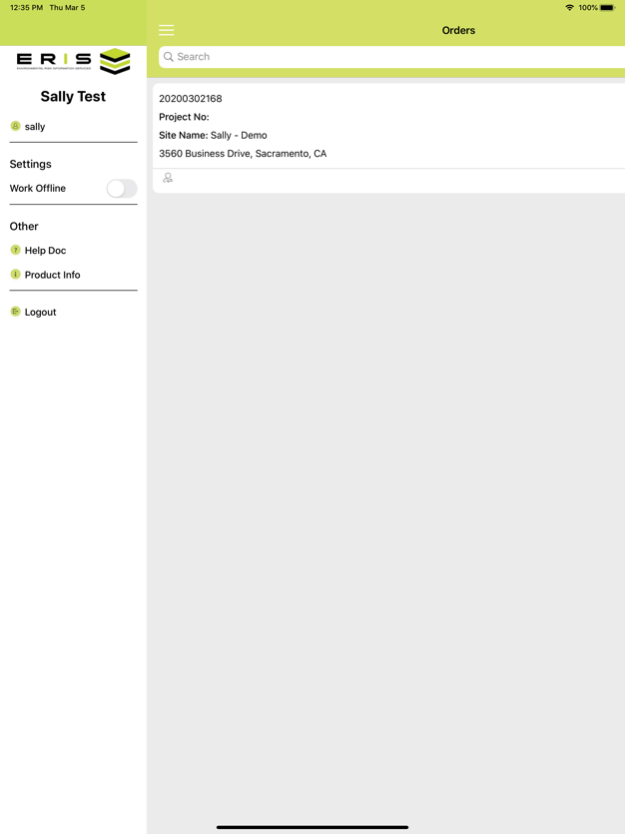


The ERIS Mobile app allows environmental professionals to perform efficient and effective site visits in order to complete their environmental due diligence on properties.
The mobile app captures photos, field notes, enables completion of site visit checklists and interactively displays ERIS-provided environmental data and historical products related to a project for comprehensive assessment. All ERIS' environmental records can be accessed for the subject property and surrounding area included in the study, as well as, any map layers including: Historical Aerials, Topographic Map, Fire Insurance Maps, etc.May 3, 2025
Version 8.0.1
Supports rendering of multiple polygons simultaneously on the map.
About ERIS Mobile
The company that develops ERIS Mobile is Environmental Risk Information Services ERIS. The latest version released by its developer is 8.0.1.
To install ERIS Mobile on your iOS device, just click the green Continue To App button above to start the installation process. The app is listed on our website since 2025-05-03 and was downloaded 8 times. We have already checked if the download link is safe, however for your own protection we recommend that you scan the downloaded app with your antivirus. Your antivirus may detect the ERIS Mobile as malware if the download link is broken.
How to install ERIS Mobile on your iOS device:
- Click on the Continue To App button on our website. This will redirect you to the App Store.
- Once the ERIS Mobile is shown in the iTunes listing of your iOS device, you can start its download and installation. Tap on the GET button to the right of the app to start downloading it.
- If you are not logged-in the iOS appstore app, you'll be prompted for your your Apple ID and/or password.
- After ERIS Mobile is downloaded, you'll see an INSTALL button to the right. Tap on it to start the actual installation of the iOS app.
- Once installation is finished you can tap on the OPEN button to start it. Its icon will also be added to your device home screen.
Program Details
System requirements
Download information
Pricing
Version History
version 8.0.1
posted on 2025-05-03
May 3, 2025
Version 8.0.1
Supports rendering of multiple polygons simultaneously on the map.
version 7.0.1
posted on 2025-02-04
Feb 4, 2025
Version 7.0.1
Minor User Interface Adjustment
version 7.0.0
posted on 2024-09-08
Sep 8, 2024
Version 7.0.0
New ERIS mobile version allow SCRIVA app users to login and add and collect data on their site visit to complete their environmental due diligence on properties.
ERIS mobile app allows users to enjoy all the current features along with enhanced ability to set up a new project on the fly during their site visit.
version 6.0.0
posted on 2021-06-26
Jun 26, 2021
Version 6.0.0
Icon Change
